Geometrical Geodesy |
 |
|||||||||
|
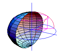
GeometricalGeodesy implements everything necessary for fundamental geodesy and analytical cartography. It computes coordinates in various data and coordinate systems, contains algorithms for classical forward and inverse problems, and enables computations with the extended Newton-Raphson, Robbins, and Vincenty methods. A large selection of reference ellipsoids and geodetic data is provided, which can be user-supplemented. |
||||||||||
|
Bestellen: Lesen Sie unsere Download-Hinweise |
||||||||||
Key Features:
|
||||||||||
|
Nur als Download erhältlich. |
||||||||||
